Visit
Welcome!
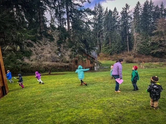
Welcome to the Whidbey Institute, a home for transformational learning since 1972.
Lasting change in the world begins when we renew our connection with ourselves, each other, and the living world.
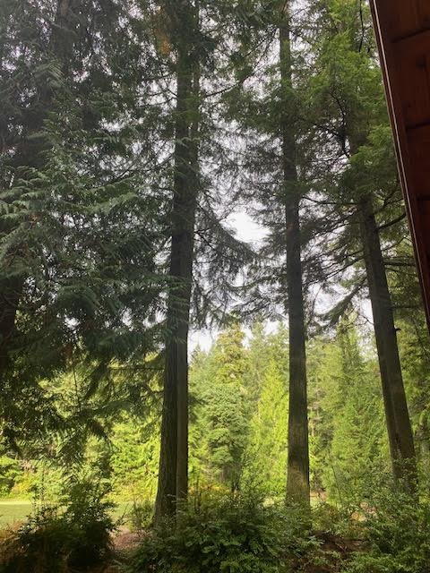
Experience our Campus
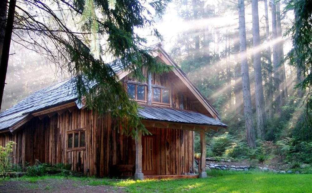
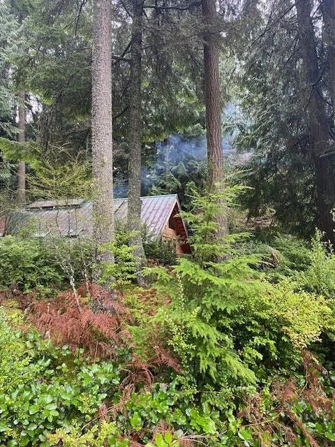
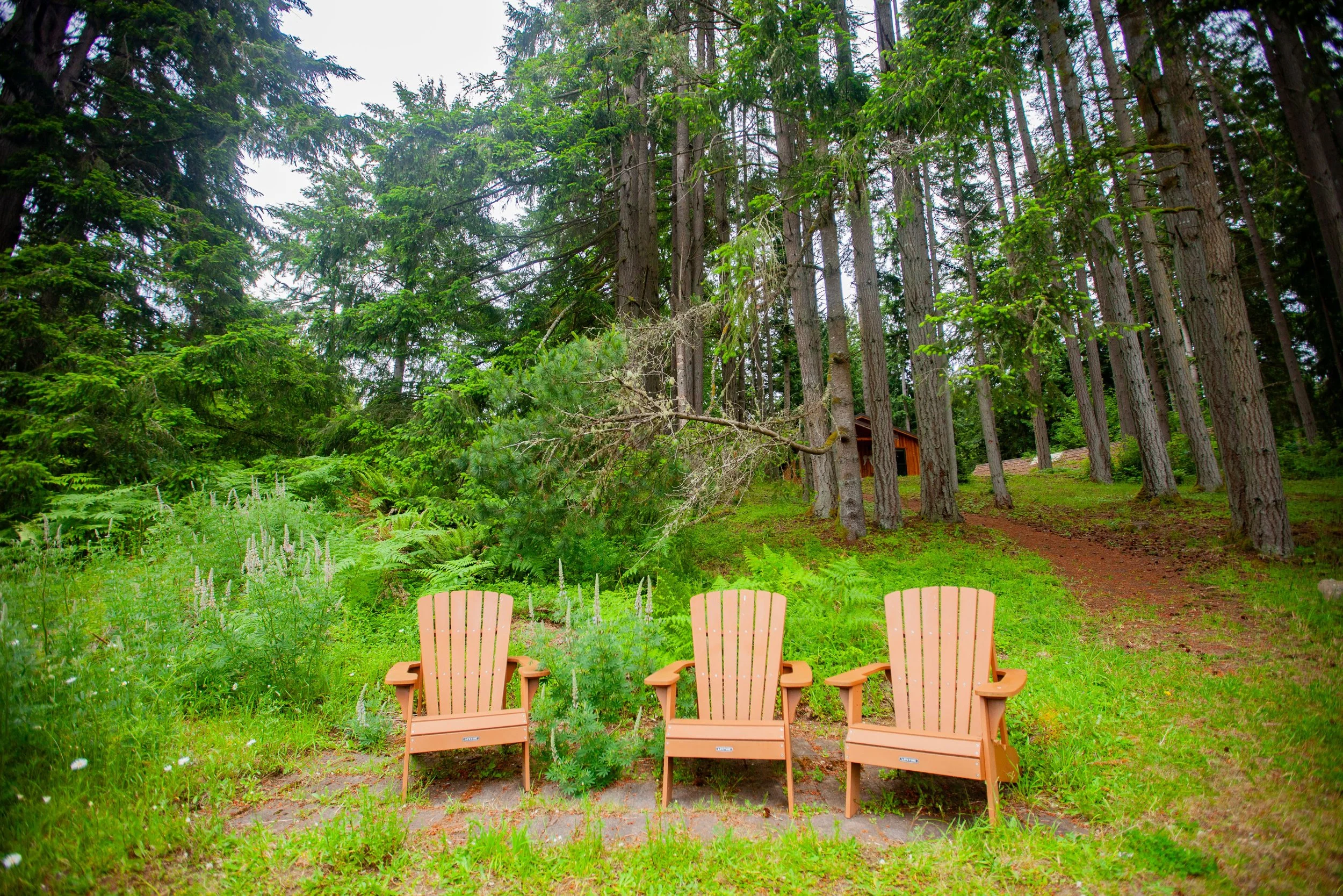
Walk the much-loved land, rest in our unique wood-built cabins and homes and savor Pacific Northwest Coast–inspired meals that nourish mind, body and spirit.
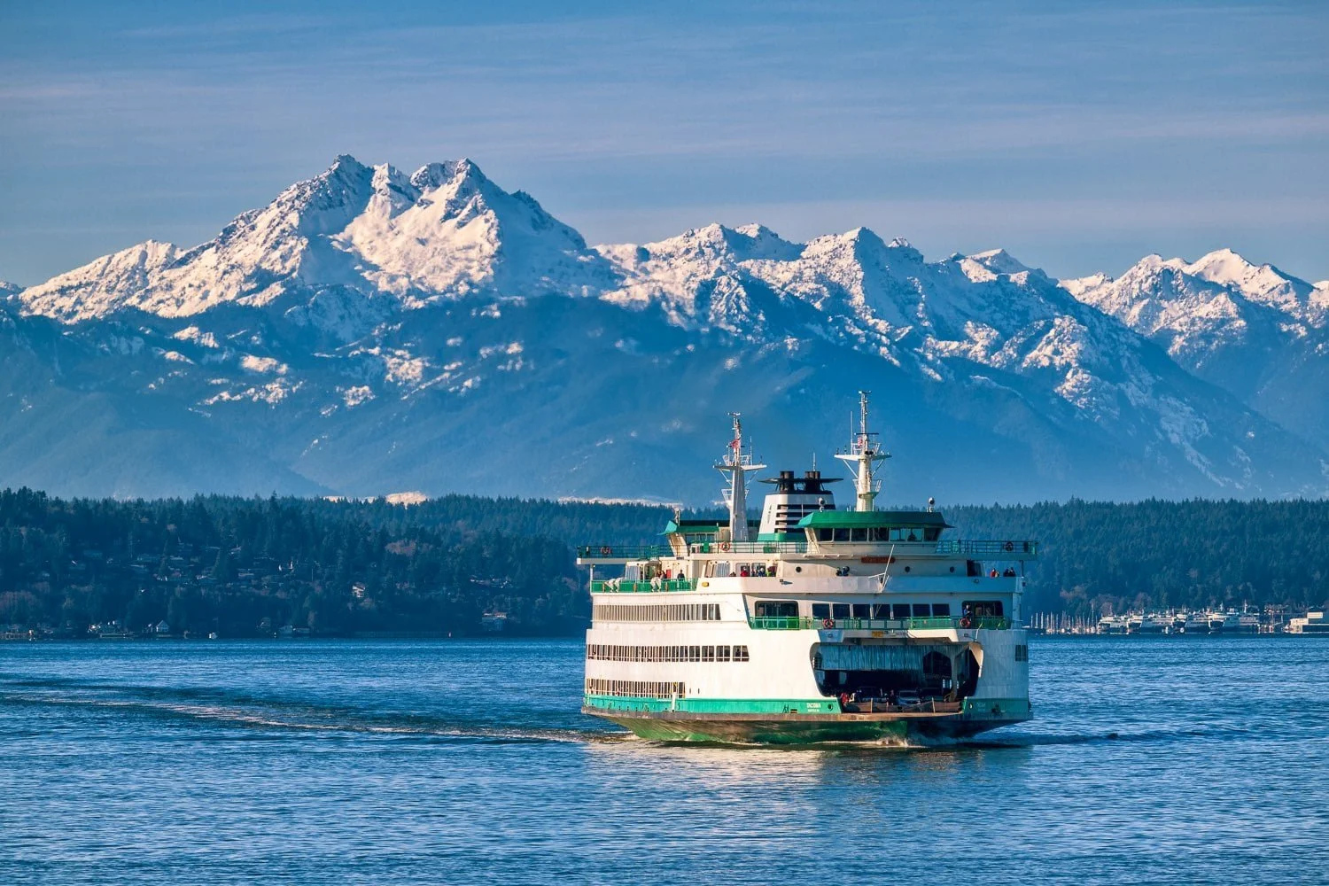
The Whidbey Institute is at 6449 Old Pietila Road, Clinton, WA 98236 on the south end of Whidbey Island. We are about 75 minutes north of Seattle, including a 15-minute ferry ride from Mukilteo to Clinton.
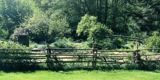
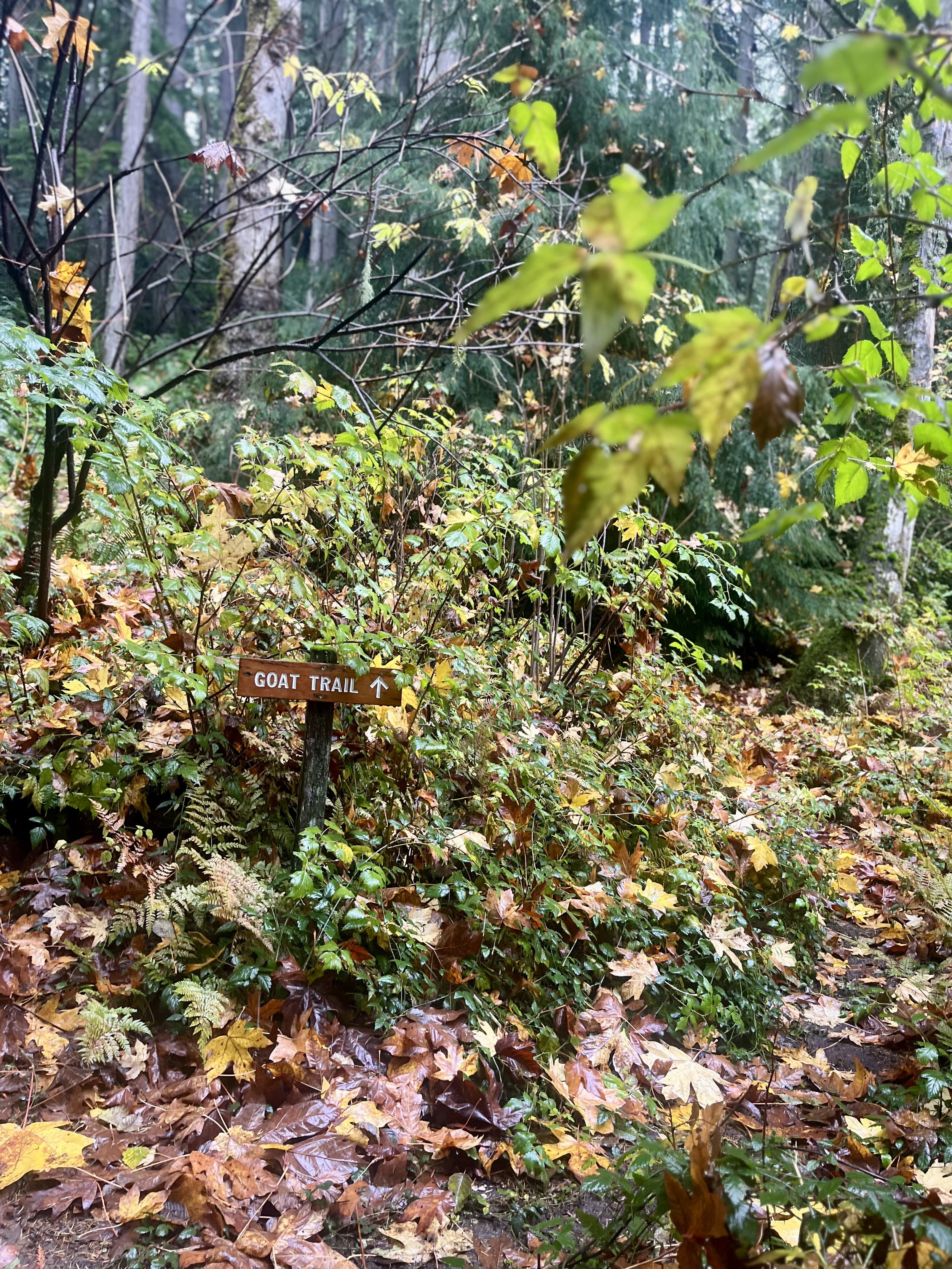
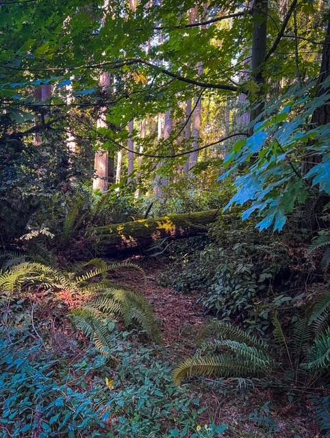
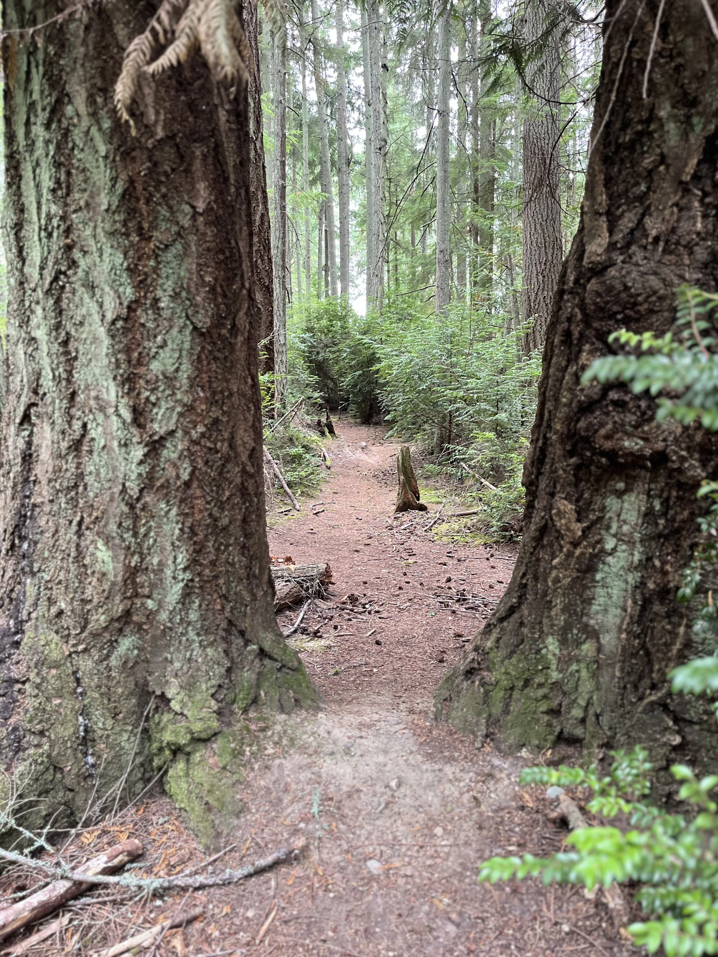
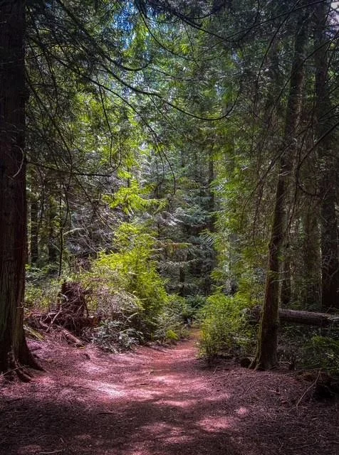
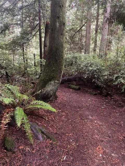
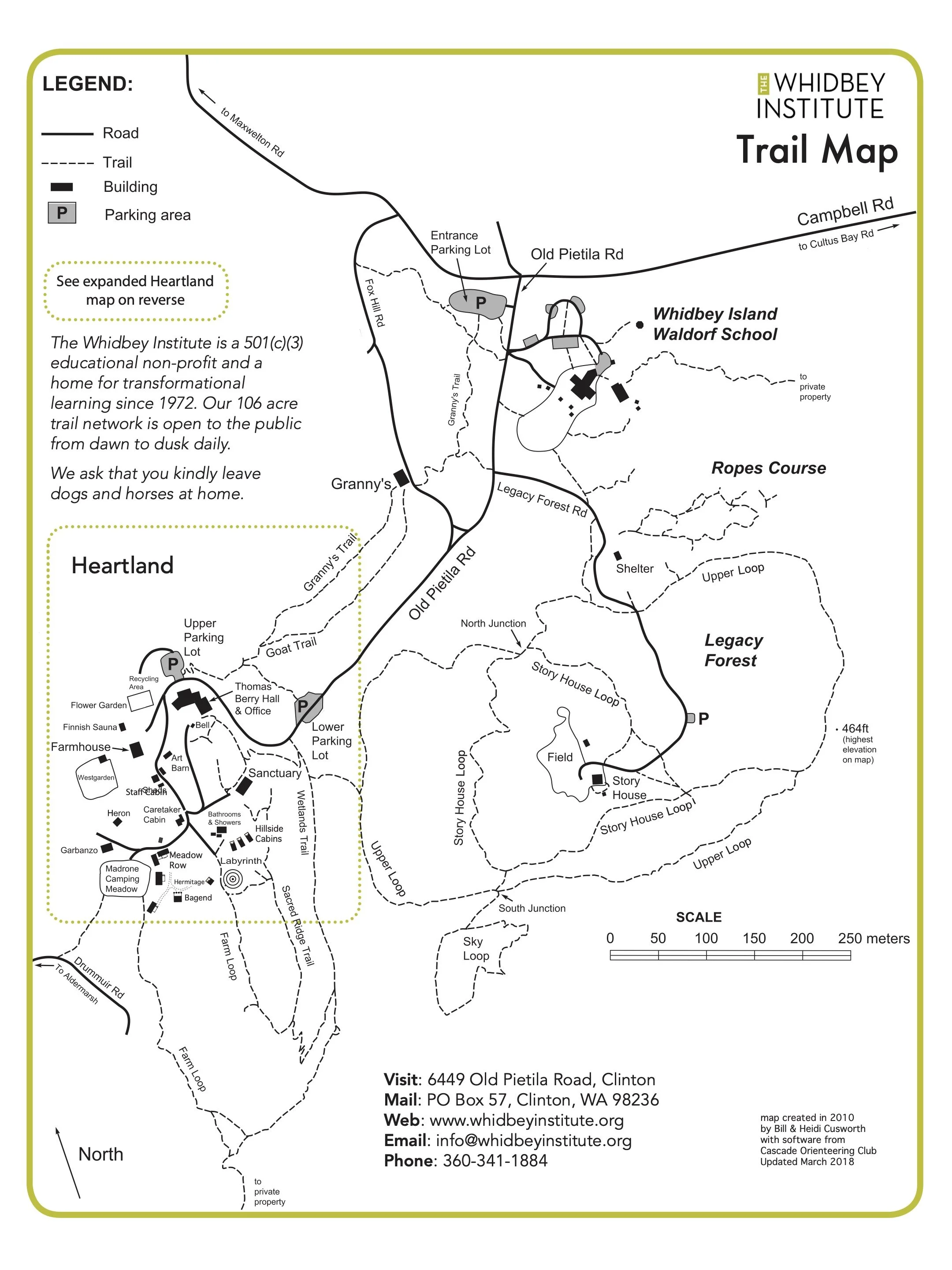
Four miles of public trails are open to the public from dawn until dusk, 365 days a year.
Participating in a program?
Read our welcome packet before your arrival for FAQs, a packing list, and arrival instructions.
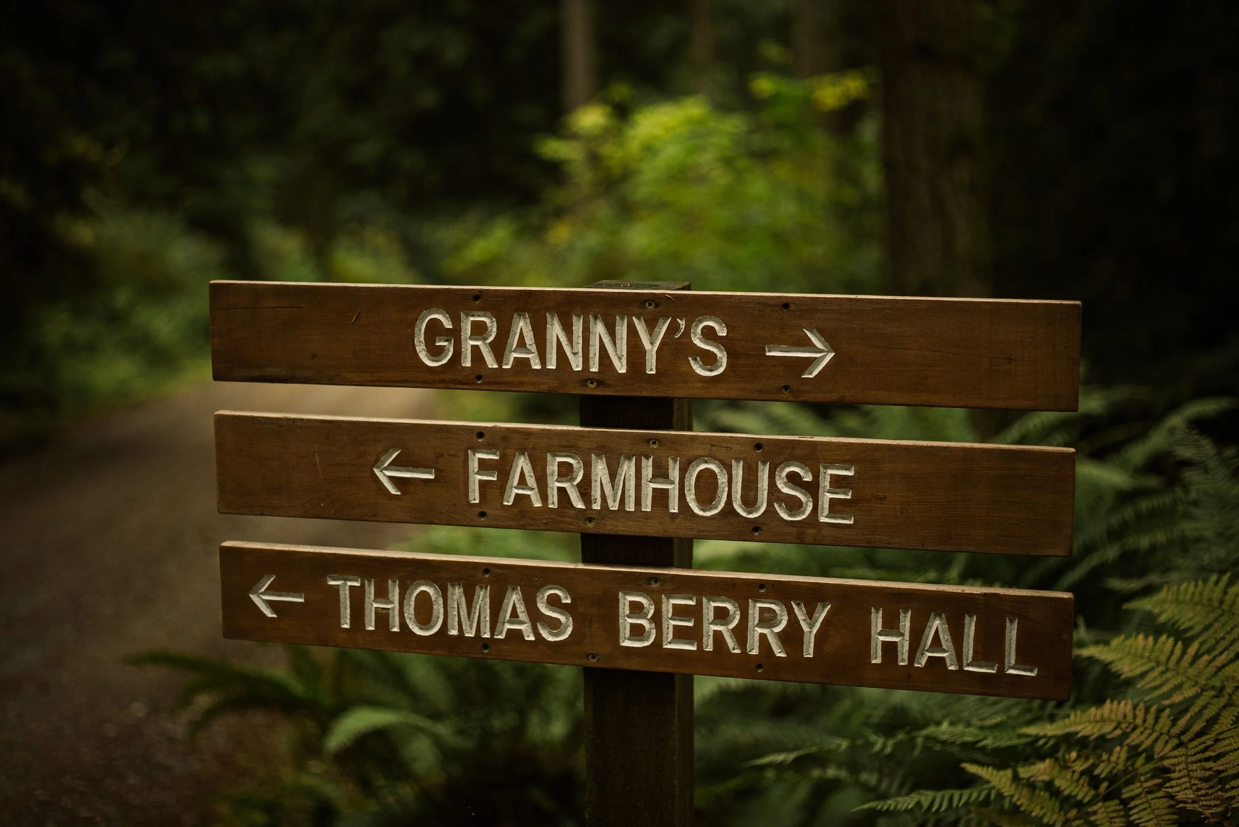
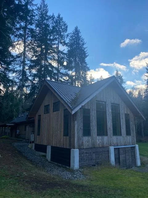
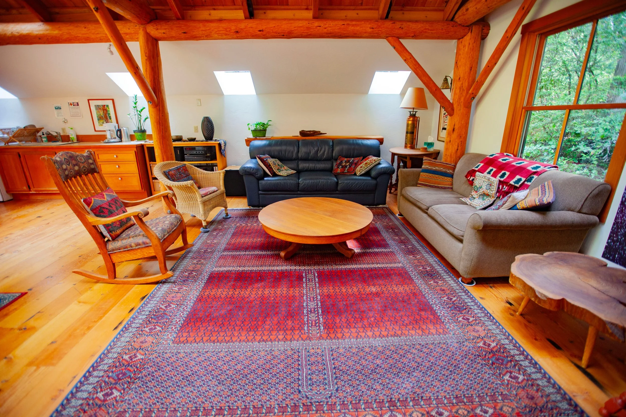
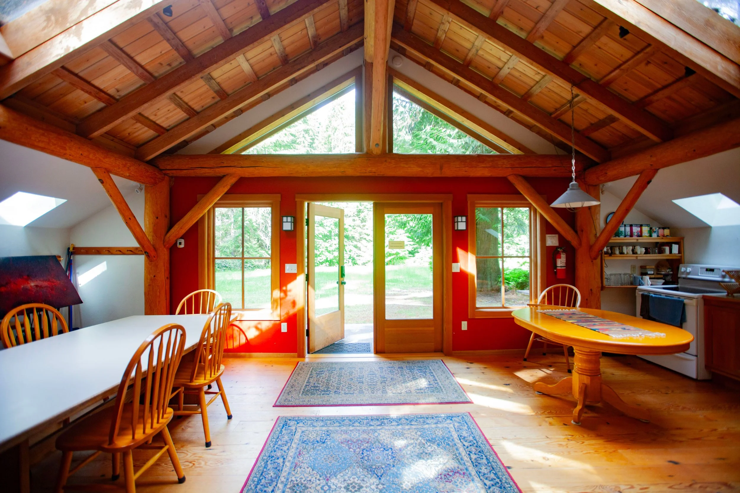
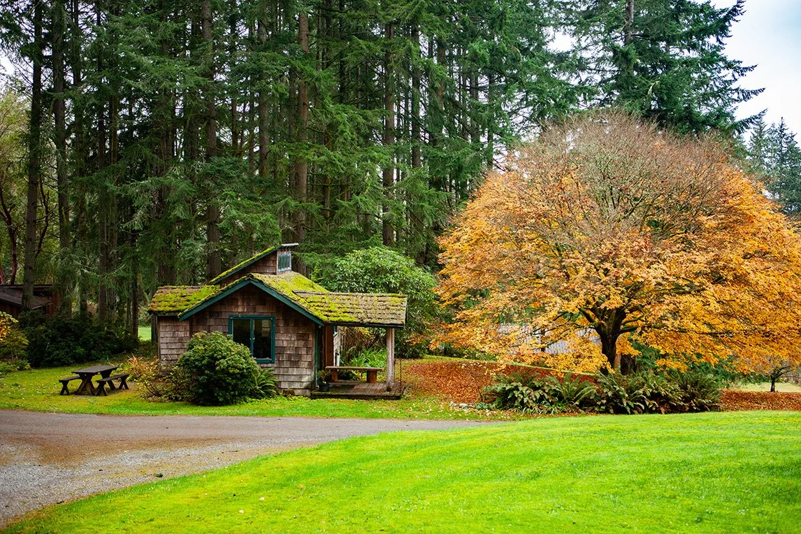
Lodging
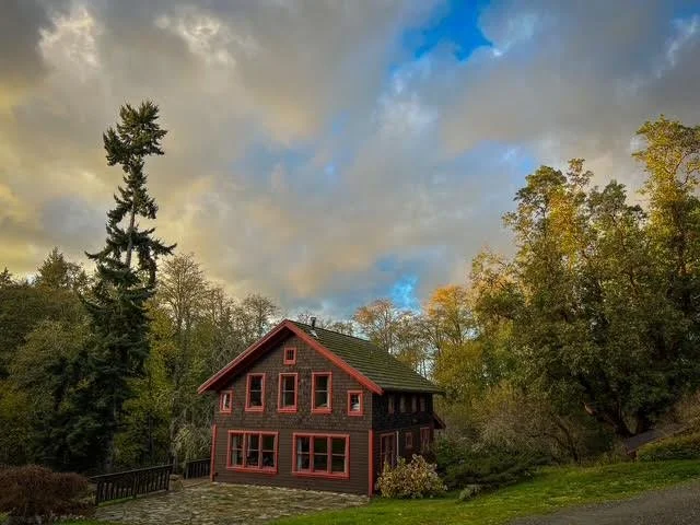
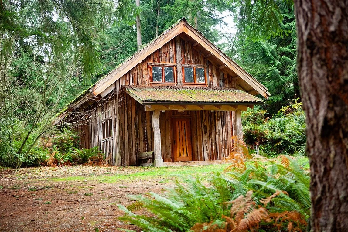
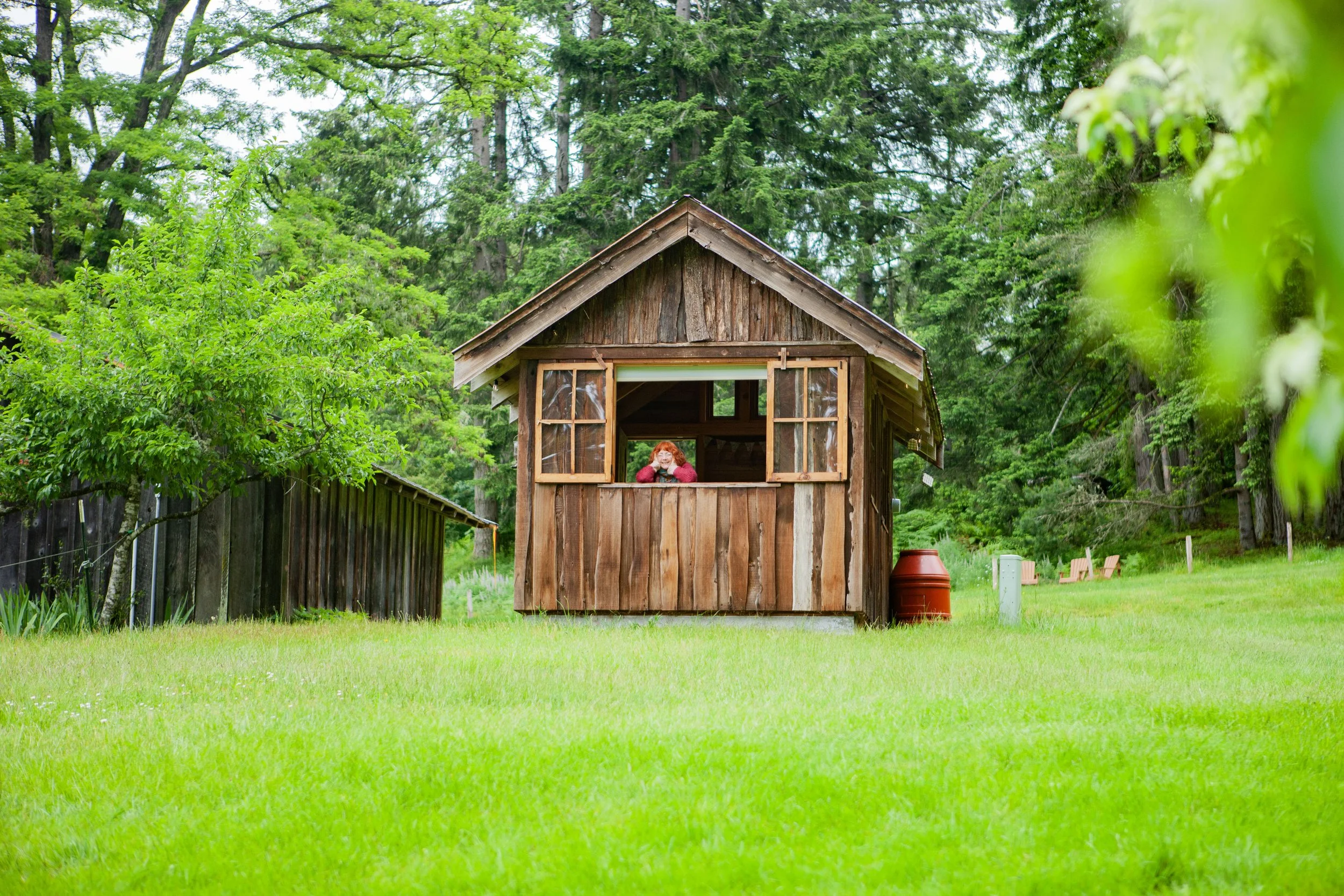
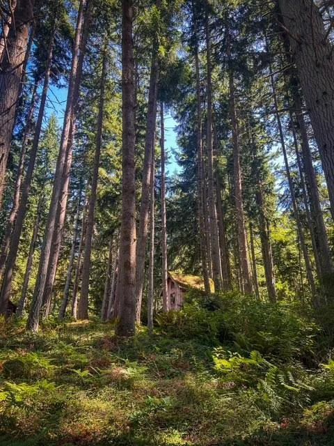
Our overnight accommodations for groups onsite include a cabin village in the forest, a historic Farmhouse in our heartland, and Granny’s, a woodland home. Together, these cabins and homes sleep 44, generally one or two per room. Space for campers with tents is available in the summer.
Meals
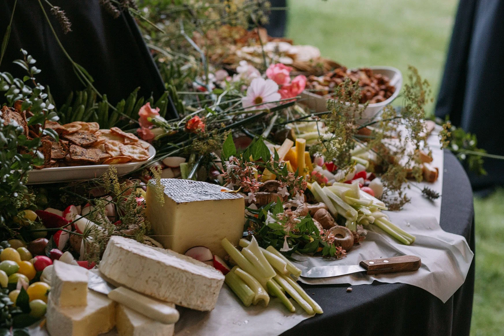
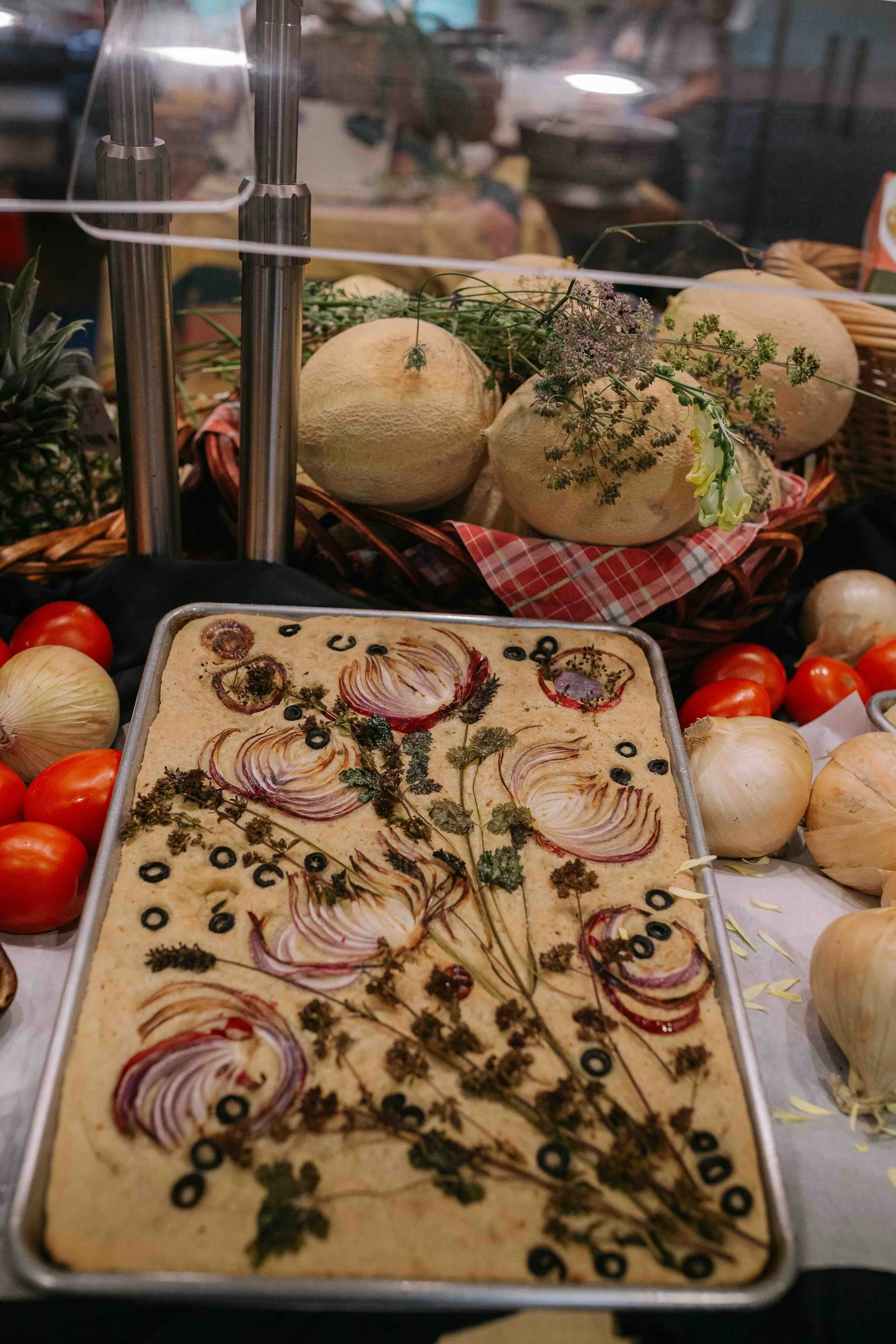
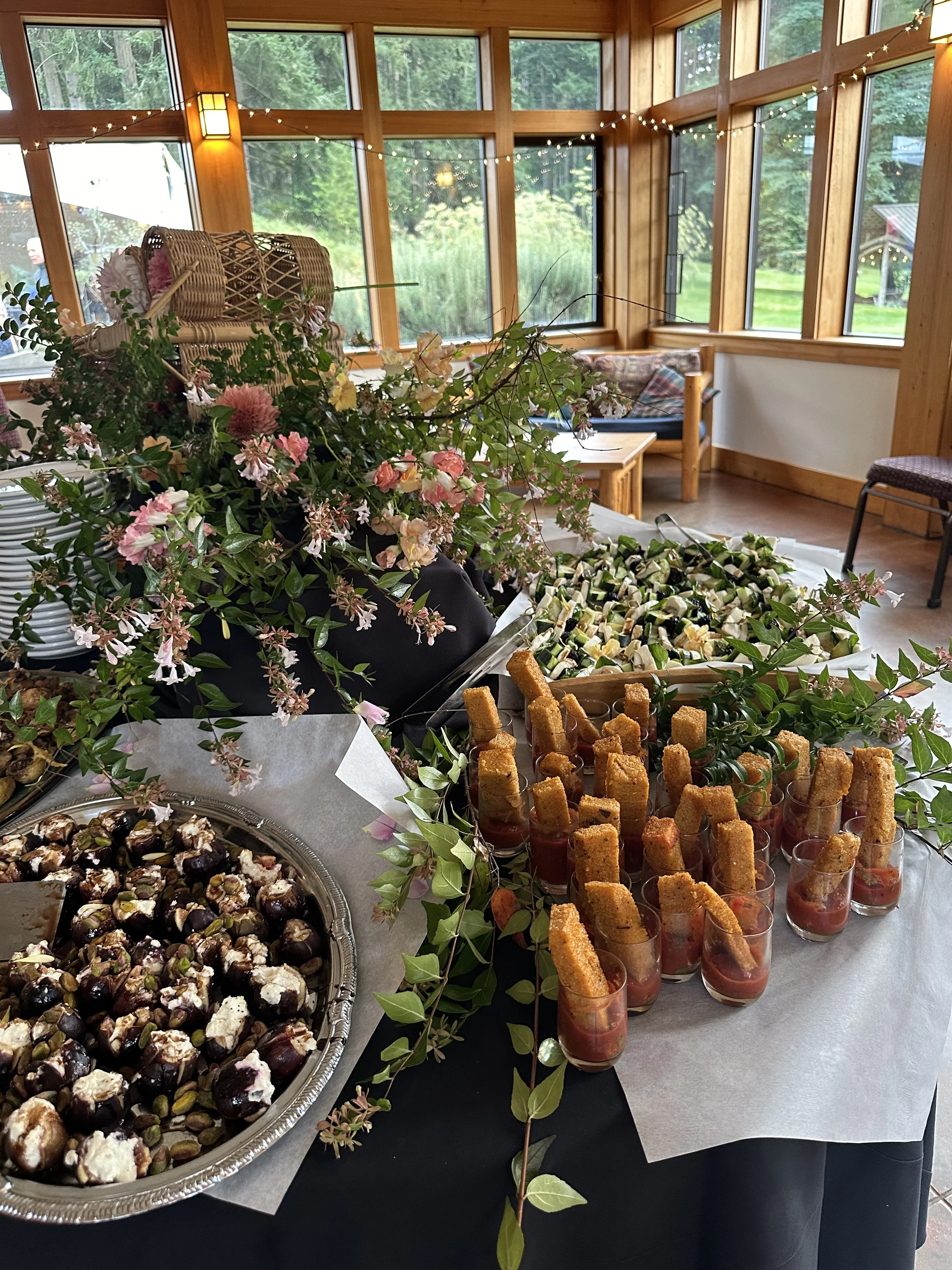
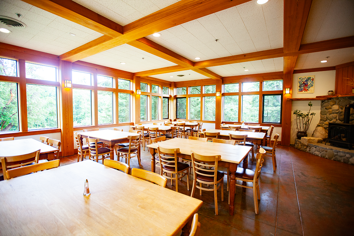
Meals at the Whidbey Institute are lovingly prepared, using local, fresh, organic produce whenever possible. Our team is always willing and able to accommodate special dietary requests, and meals often include an abundance of gluten-free, low-sugar, and vegan options.
Meals are one of the many things here that keep people coming back.
Eliza’s cooking is delicious, nourishing, and so clearly made with love and care. Her Levantine and Greek–inspired flavors are truly outstanding. Dates, dill, feta, tahini, and so many wonderful combinations that feel both vibrant and grounding. Every meal leaves me feeling deeply nourished, and food has become something I genuinely look forward to each time I come to the Whidbey Institute. I’m excited to continue experiencing Eliza’s culinary magic.
aparna r
-2026 program participant
Our Common Spaces
Come visit. You Belong here.
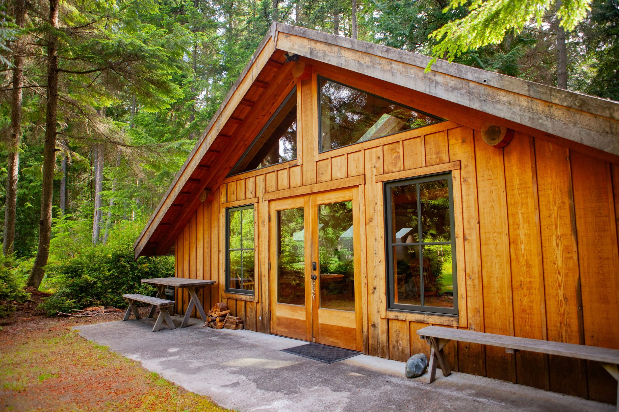
Commons
The Commons is our newest gathering space and accommodates up to 22 people. It includes a full kitchen and two bathrooms with showers for campers to use.
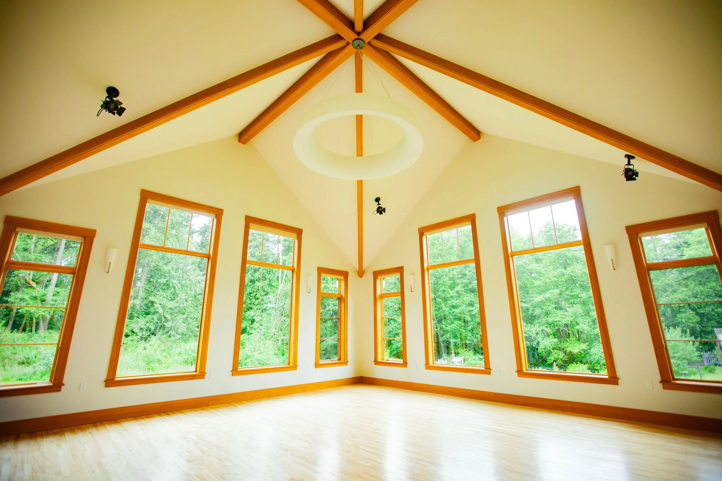
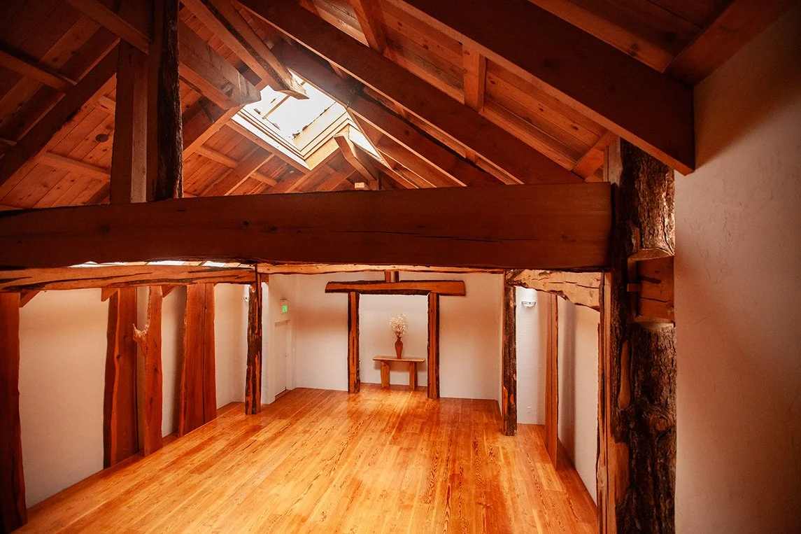
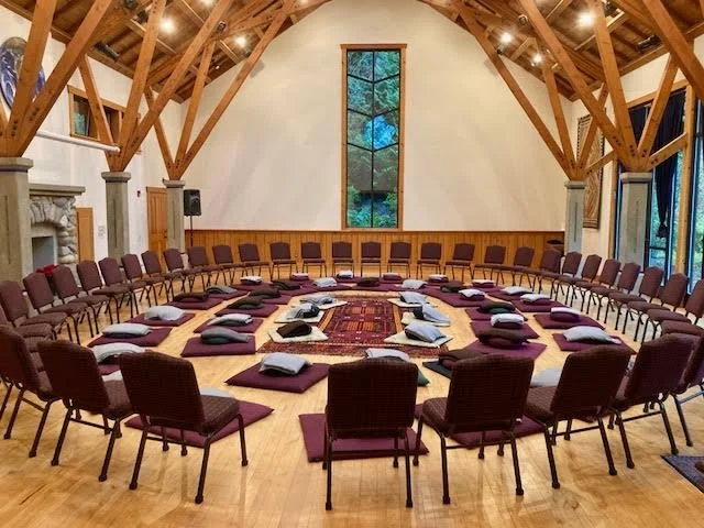
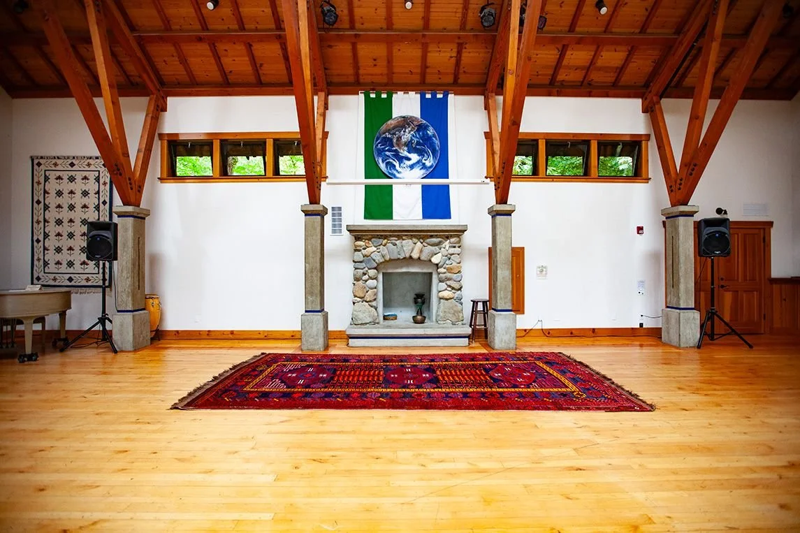
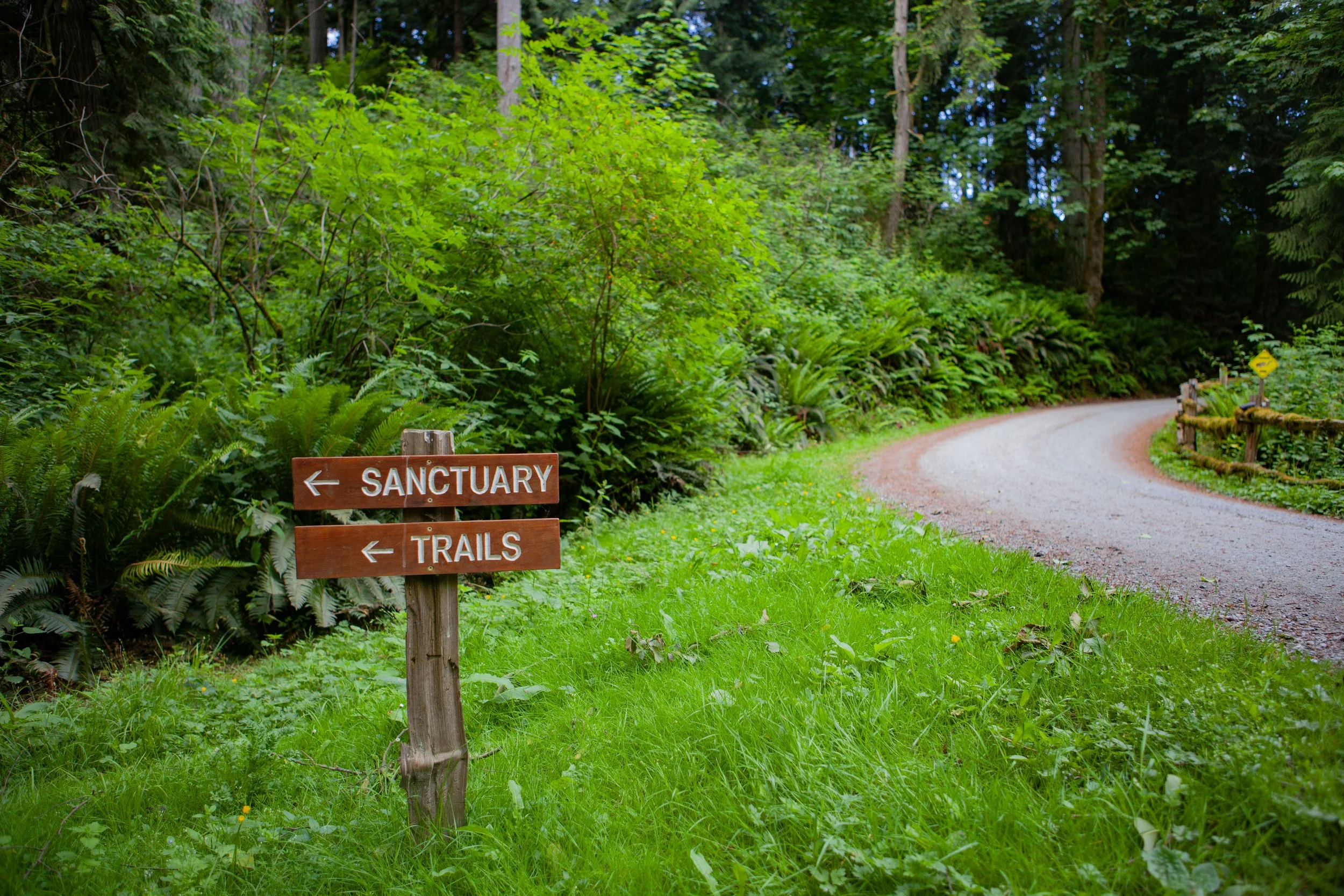
Sanctuary
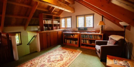
This non-denominational sacred space is often used for meditation, dance, small gatherings, and break-outs. It features a reading loft, live edge timber-framed construction, and wood sourced largely from on-site.
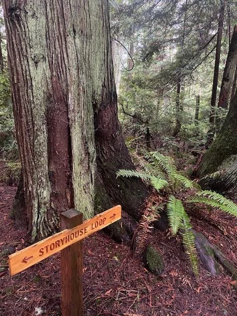
Storyhouse
Located away from the main campus in the Legacy Forest, Storyhouse can be used for break-outs and small gatherings. It is a popular small-to- medium community event space. It features a living room with wood stove, electric heat, and a kitchenette. There is no refrigerator. Storyhouse is serviced by a nearby, single portable restroom. Storyhouse is surrounded by meadow and woods, including the much loved woodland Listening Circle.
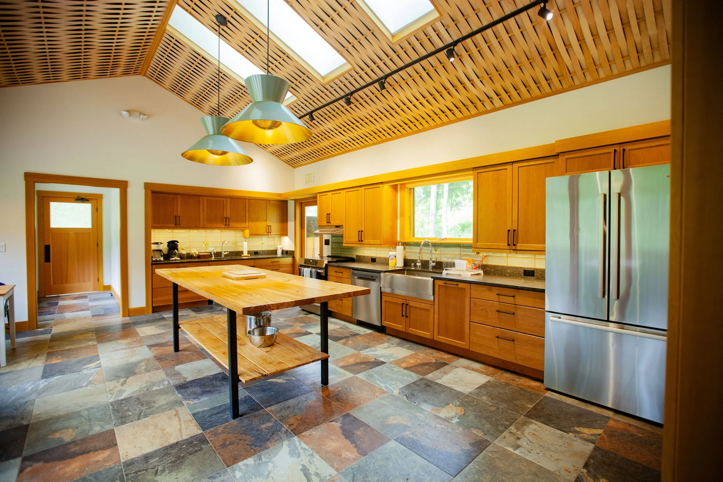
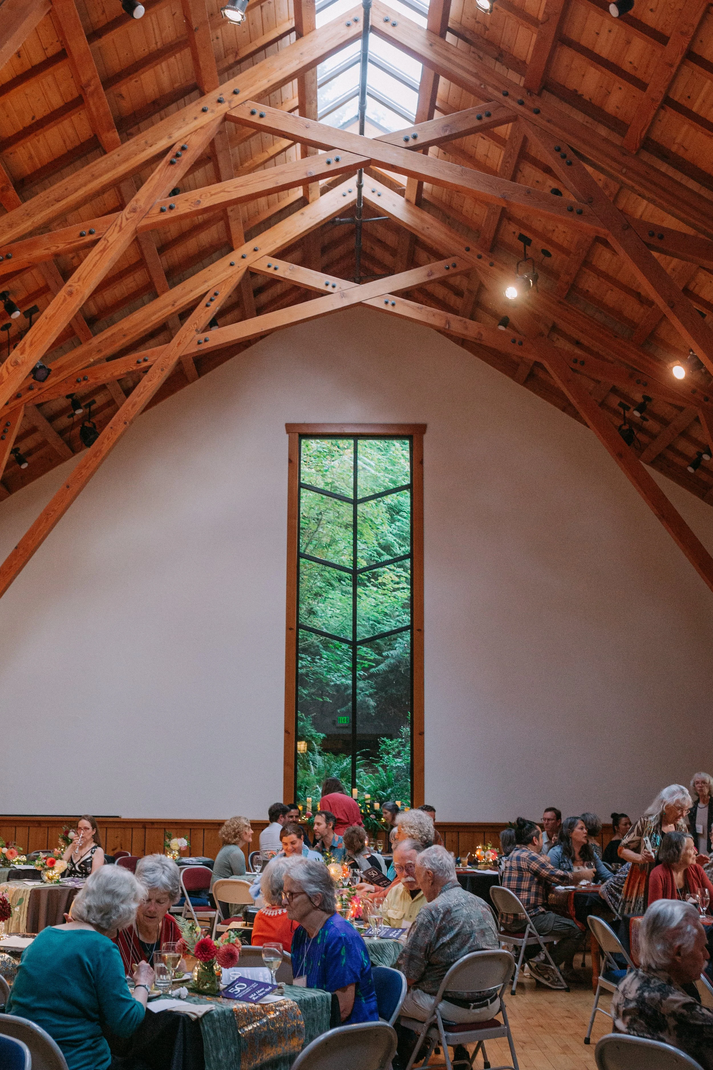
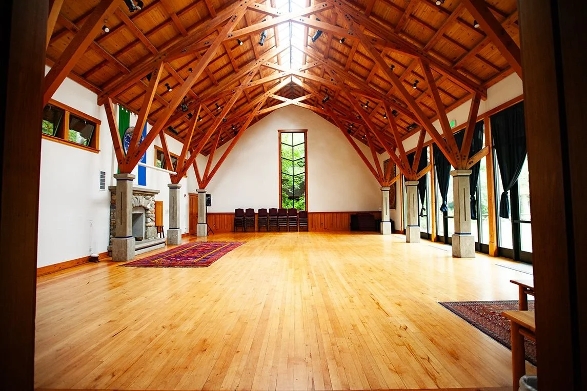
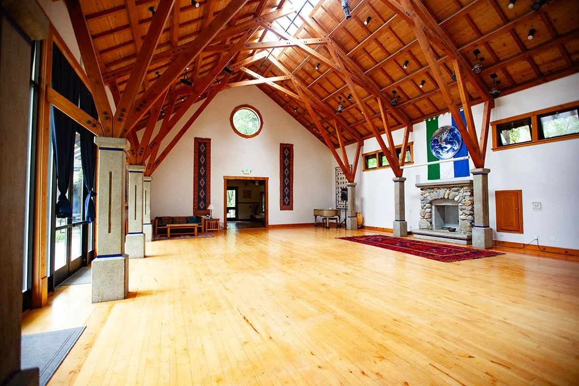
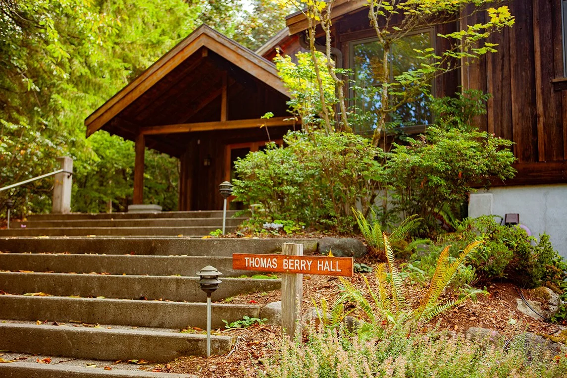
Thomas Berry Hall
Our main gathering space accommodates up to 75 people, and includes a sound system, projector and screen, and vaulted ceiling with skylights. Nearby, you will find our dining room, chef’s kitchen, restrooms, and staff offices.

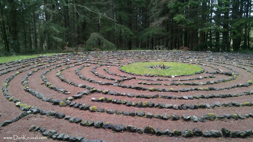
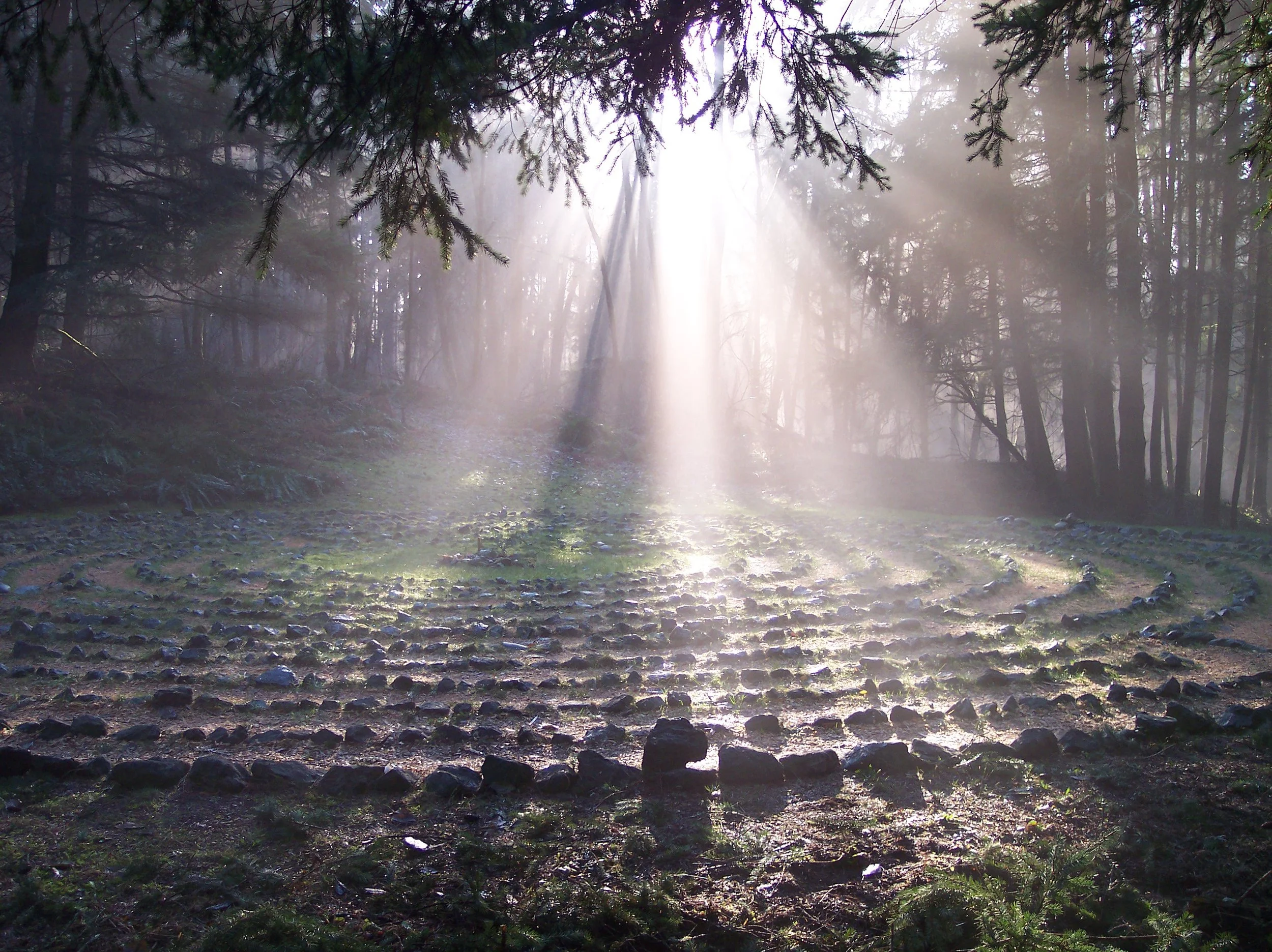
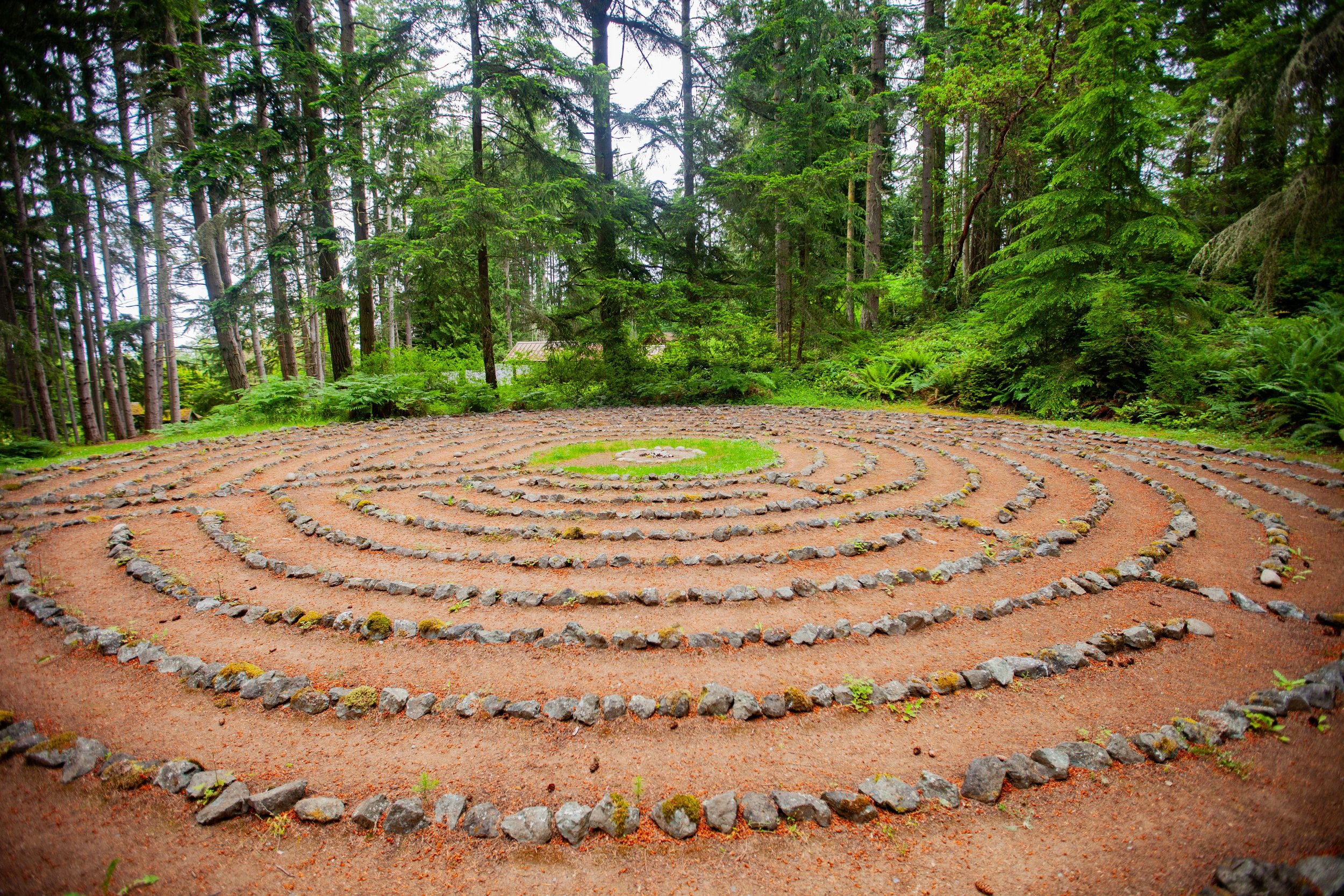
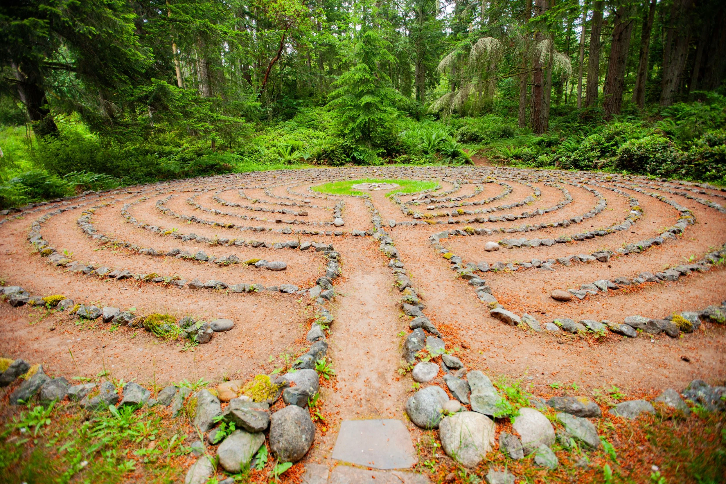
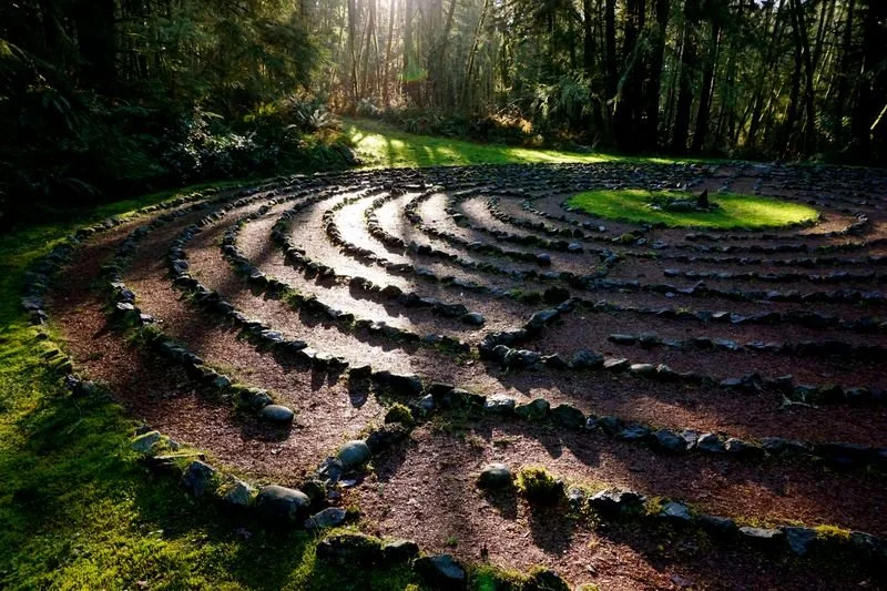
Labyrinth
Our outdoor stone labyrinth is built and maintained by volunteers, and modeled after the famous labyrinth at Chartres, France. It is a popular year-round site for reflection and walking meditation.
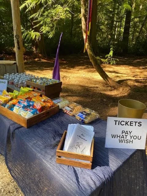
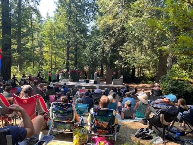
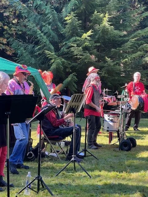
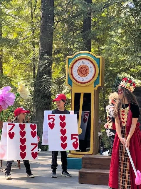
Storyhouse Theater
Storyhouse Theater sits in the woods close by Storyhouse. Storyhouse Stage has been host to plays, dances and gatherings of all kinds for years. Whidbey Institute’s youth production collaboration with the Whidbey Island Centre for the Arts takes place here every summer.
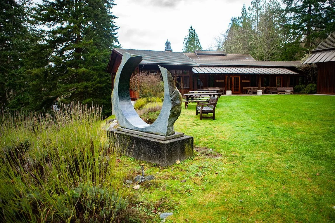
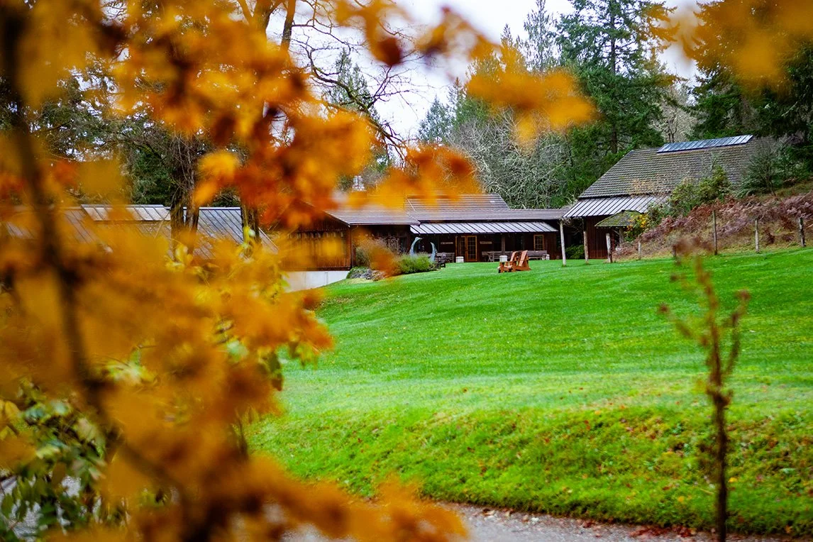
The Heartland
The Heartland is the main campus of Whidbey Institute, housing Thomas Berry Hall, the Sanctuary, the Commons, the labyrinth, cabin village, the Farmhouse as well as the Apple Tree and West Gardens, a staff cabin, our Executive Director’s office and more.
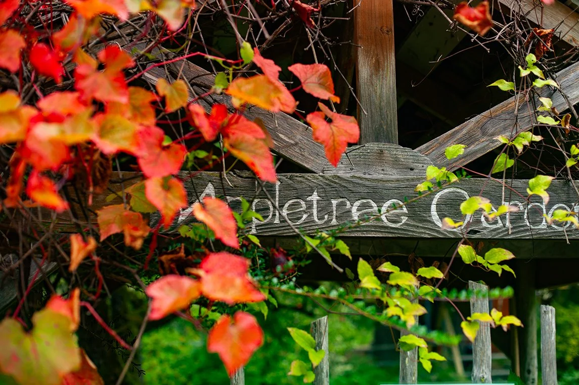
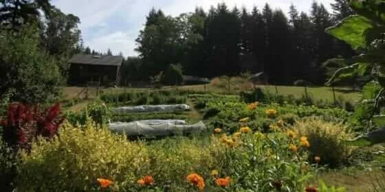
More ab out Apple Tree Garden
This flower garden was planted in a celtic knot pattern over 40 years ago and is tended by volunteer Mara Grey. It provides fruit, botanical flower extracts, pollinator habitat, and space for quiet conversation.
More about West Garden
Plans are now underway to grow and provide vegetables to the WI Kitchen, and further into the wider community, as well as to serve as a year-round learning environment for students, program participants, volunteers, and visitors.
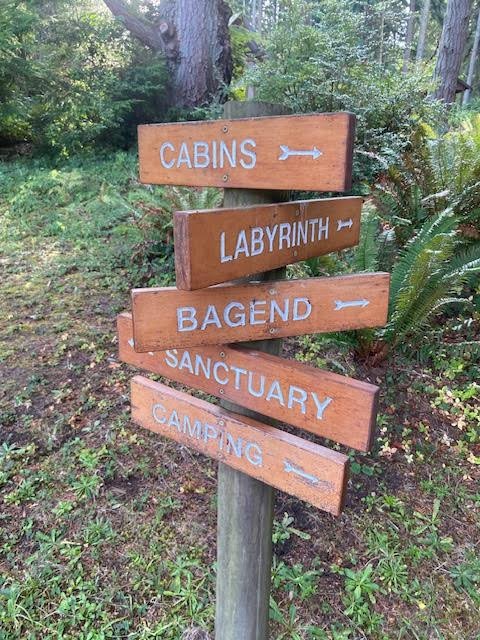
Public Trails
Our four miles of public trails are open to the public from dawn ’til dusk every day, all year. This land is protected by a comprehensive conservation easement with the Whidbey Camano Land Trust.
“A twist inward
A transformation outward
A fresh view from fatigued eyes
All part of a simple design
of much complexity
with the whole greater than the sum of the steps
All while traveling
One Step at a Time".”
— Suzanne Moody, excerpted from Walking the Labyrinth: One Step at a Time“My greatest hope is that all of us can find that little, holy place in all that we do—that we can dare to make it a real expression of who we are in the moment, and what we see, and what we feel. It doesn’t matter if you’re a janitor, or a neurosurgeon, or a carpenter—with courage and fortitude, what you love should be able to bubble up out of you. That’s what the Sanctuary means to me.”
—Kim Hoelting, Builder
Trail Map
Four miles of public trails are open to the public from dawn until dusk, 365 days a year. We ask that dogs, bicycles, and horses be left home, please! ADA certified dogs are permitted on the trails.

Getting Here:
Paine Field in Everett—our closest airport, just 4 miles from the ferry dock—is now serving the public. Here’s a link to directions from Paine Field to the Mukilteo Ferry.
On Whidbey:
Drive down/up 525 till you come to Cultus Bay Road, take a right if coming from up north and a left if coming from down in Clinton or off the ferry.
Drive for a minute or so and then take a right onto Campbell Road.
Take a left onto Old Pietila Road.
There is parking immediately to your right if you'd like to go for a hike, or walk to the Heartland.
Keep driving for another minute or so and you will come to our second parking lot, at the base of the Heartland.
For high accessibility parking only, keep driving up the narrow, windy road, and there is a small parking lot at the top, across from Thomas Berry Hall.